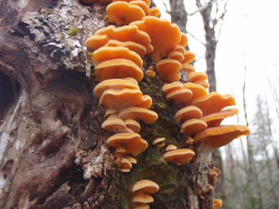
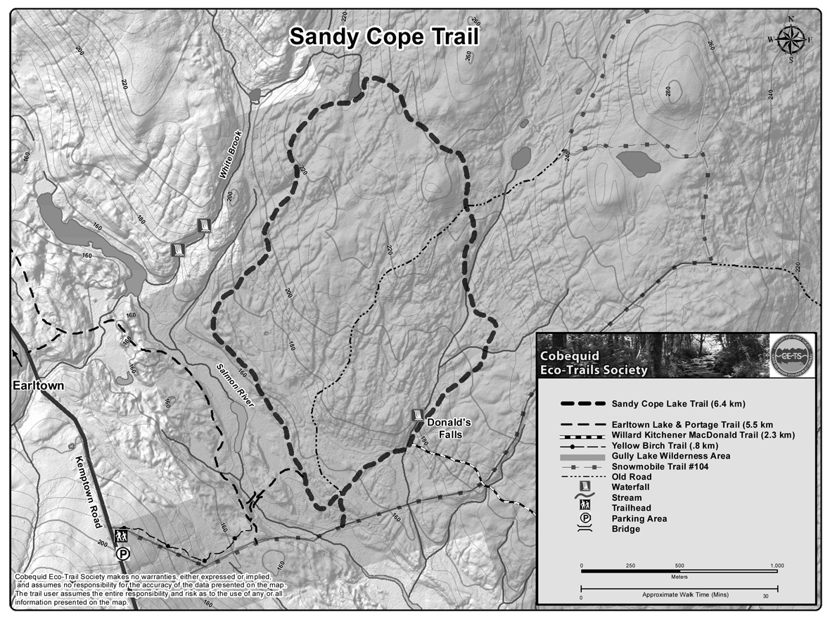
| Sandy Cope Trail, named for a Mi'kmaq hunting guide born in 1853, is 6.3 km long and starts 1.5 km from Gully Lake Wilderness Trail Head. The trail is set in white spruce, maple, and red spruce woods, with a great variety of
wildflowers, mosses, and lichens. The trail passes old mill sites, Donald's Falls, Sandy Cope Lake, Widow Hatton's Ridge, and crosses two early roads. The trail rolls very lightly and should be relatively easy on snowshoes.
|
| Type: |
Loop |
| Length: |
6.3 km (approx 2.0 hour hike) |
| Surface: |
Soil, footpath |
| Marking: |
Follow path and trail markers. |
| Permitted Use: |
 |
Back Country Skiing |
|
Hiking |
|
Snowshoeing |
|
| Access: |
Trail Head located on Fire road into Gully lake Wilderness Area, 1.5 km from gate on Kemptown Road |
| Trail Head Coordinates: |
Lat 45.53927 N, Long 063.09851 W. Directions. |
| Information: |
|
| Photos: |
Visit the Photo Gallery for more photos of this trail. |
| |
|
|

