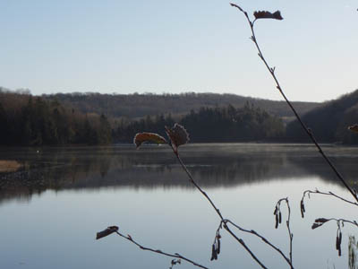
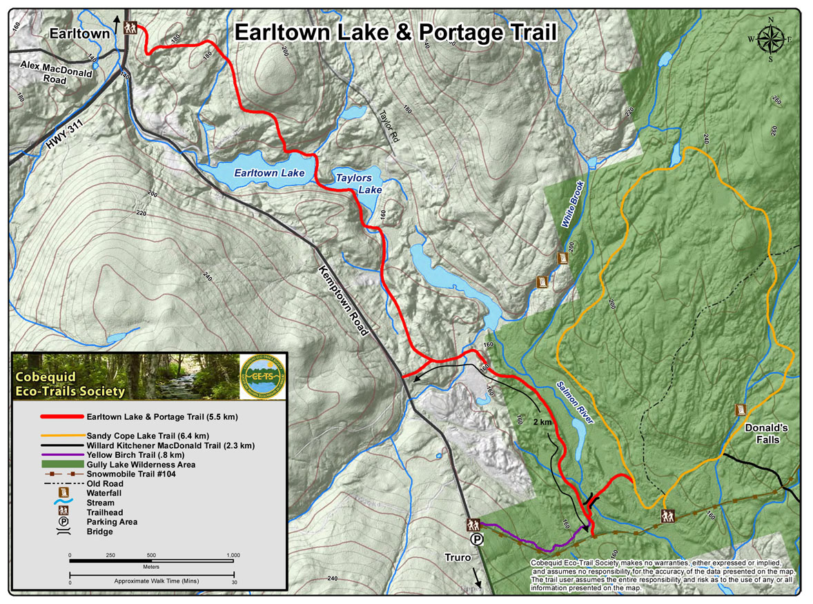
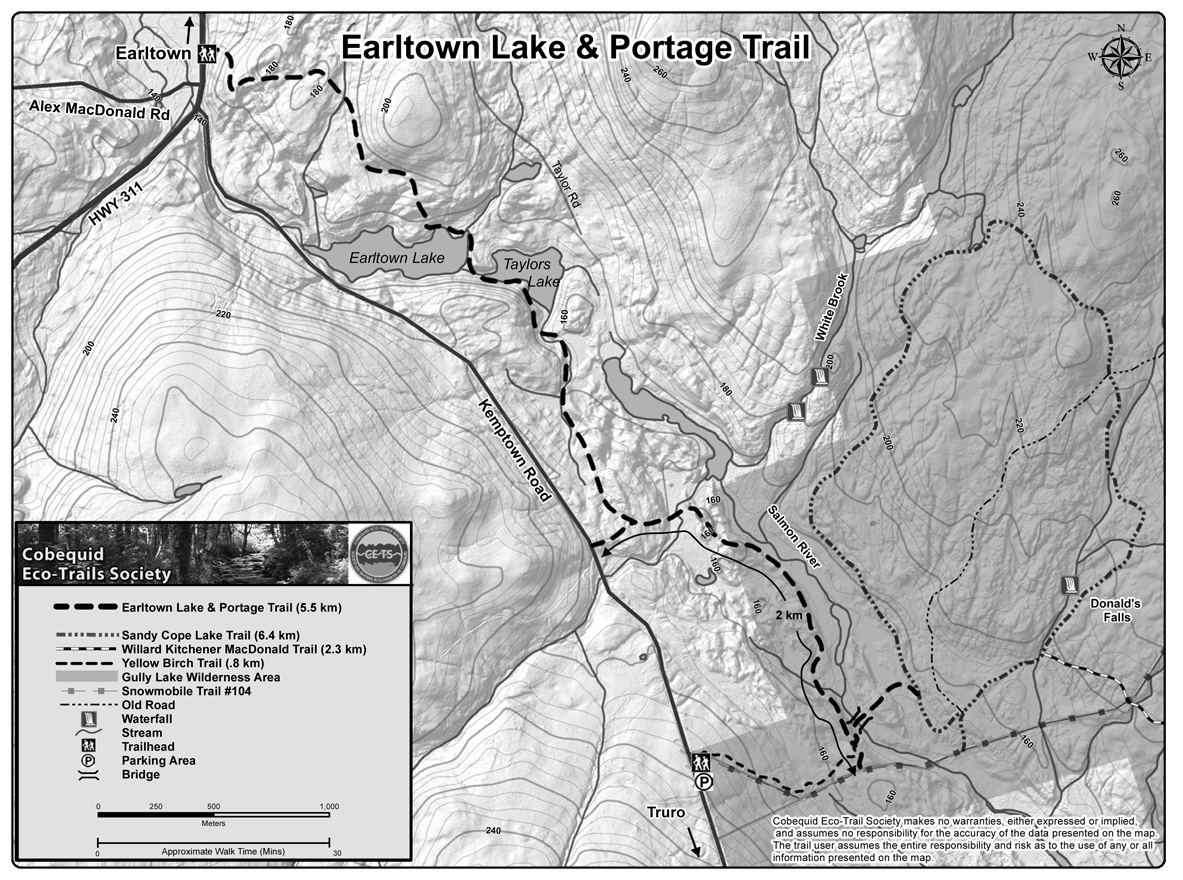
| Earltown Lake and Portage Trail, 6.1 km long, starting on highway 311, about 1 km south of Earltown Village, is set in a towering sugar maple and yellow birch wood, with hemlock and red spruce, a former Christmas tree farm, and flora associated with those woods. The trail travels through raspberry patches, beside 2 wilderness lakes, on 8 board walks / bridges, near an old stone bridge, and above the headwaters of the Salmon River. The part of
this trail near the lakes is relatively level. One can also access this trail from Taylor Lake Road and the Kemptown Road.
|
| Type: |
Linear |
| Length: |
6.1 km (approx 2 hour hike) |
| Surface: |
Soil, footpath |
| Marking: |
Follow path and trail markers. |
| Permitted Use: |
 |
Back Country Skiing |
|
Hiking |
|
Snowshoeing |
|
| Access: |
Trail Head located on Hwy 311, near entrance to Alex MacDonald Road. Park on Alex MacDonald Road or Kemptown Road. |
| Trail Head Coordinates: |
Lat 45.56665 N, Long 063.13991 W. Directions. |
| Information: |
|
| Photos: |
Visit the Photo Gallery for more photos of this trail. |
| |
|
|
