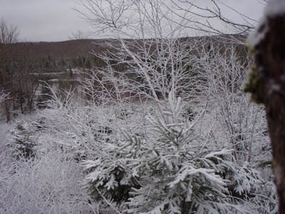
| Juniper Head Trail, 3.3 km long, starts on the Glen Road off Route 4 in Dalhousie Mountain, Pictou County. It is set in an immature spruce wood and an old sugar maple and yellow birch wood and has many old forest lichens. It passes old skidder roads, brooks, and ends at Juniper Brook and the Gully Lake Trail. It is the most level of the CE-TS trails.
|
| Type: |
Linear |
| Length: |
3.3 km (approx 1.0 hour hike) |
| Surface: |
soil, footpath |
| Marking: |
Follow path and trail markers. |
| Permitted Use: |
 |
Back Country Skiing |
|
Hiking |
|
Snowshoeing |
|
| Access: |
Access from Gully Lake trail or from the Glenn Road. Trail Head coordinates are for the Glenn Road access point. |
| Trail Head Coordinates: |
Lat 45.551260 N, Long 63.004670 W. Directions. |
| Information: |
|
| Photos: |
Visit the Photo Gallery for more photos of this trail. |
| |
|
|

