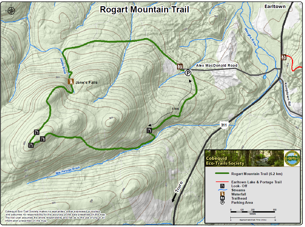
| Rogart Mountain Trail, 6.2 km. long, starting at Sugar Moon Farm, wanders through white spruce woods, stands of sugar maple and yellow birch, and, at its highest points, gnarly dwarf beech and old growth forest lichens. The
trail passes old stone walls, 3 brooks, 4 look-offs, Jane's waterfalls, 3 foundations, and 17 interpretive points. Though this trail has many steep climbs, the falls can be accessed on flat terrain by doing a shorter trip
counter clockwise.
|
| Type: |
Loop |
| Length: |
6.2 km (approx 2.5 hour hike) |
| Surface: |
Soil, footpath |
| Marking: |
Follow path and trail markers |
| Permitted Use: |
 |
Hiking |
|
Snowshoeing |
|
| Access: |
Trail head at Sugar Moon Farm on the Alex MacDonald Road, off Route 311 in Earltown. Parking is available. |
| Trail Head Coordinates: |
Lat 45.56491 N, Long 063.15330 W. Directions. |
| Information: |
|
| Photos: |
Visit the Photo Gallery for more photos of this trail. |
| |
|
|

